
~Bannerdale Crags~
8th July 2016
The Summit of Bannerdale Crags
Scroll down for photos and a description of the walk....
 |
 |
Mungrisedale Parking |
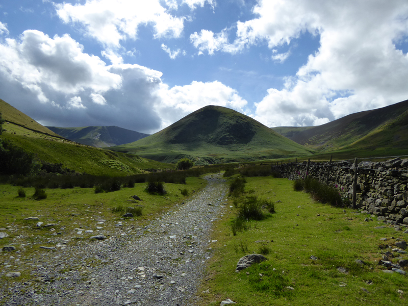
The Tongue |
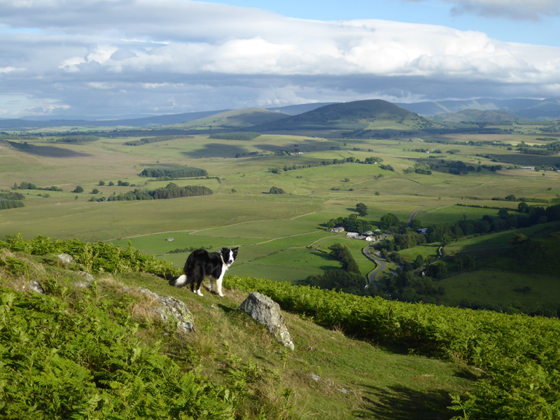
After a day of great dullness and rain, the skies began to clear and this walk started from the village of Mungrisedale at 16:30hrs. Dominating the early view is "The Tongue", with Bannerdale Crags to the left.
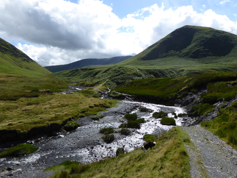
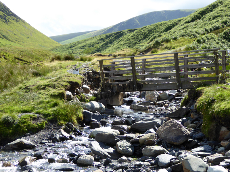
Desmond's Devastation
The huge rainfall of last year culminating in Storm Desmond has washed the track away and walkers now need to cross the beck twice to gain the footpath below The Tongue.
 |
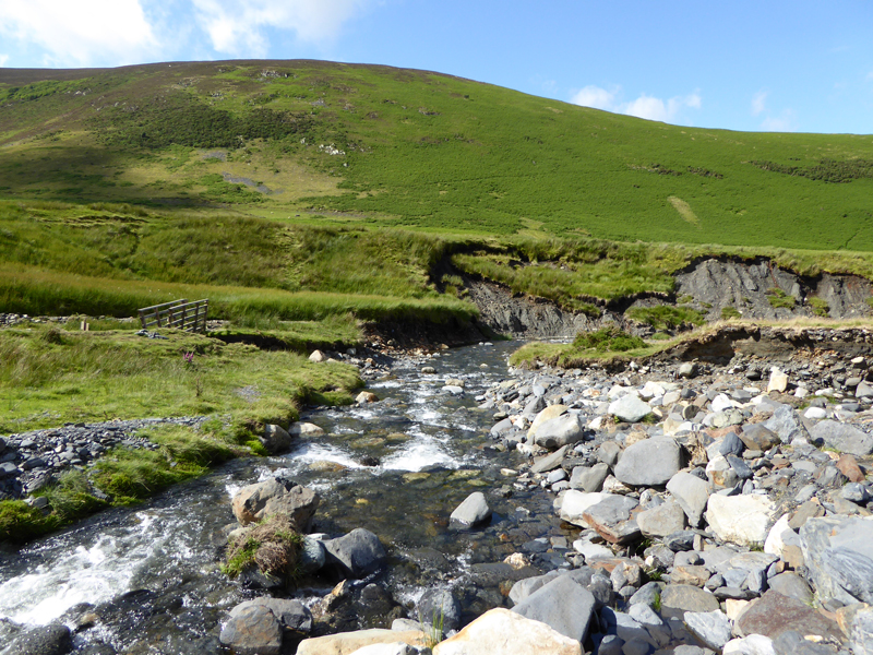 |
A displaced footbridge and another view of the changing landscape.
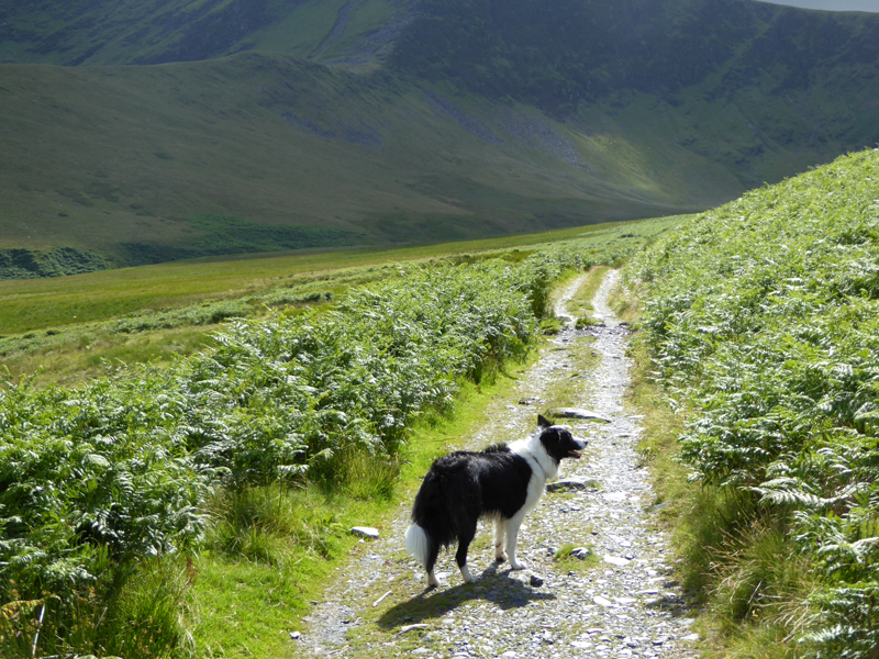
The Wrong Path...
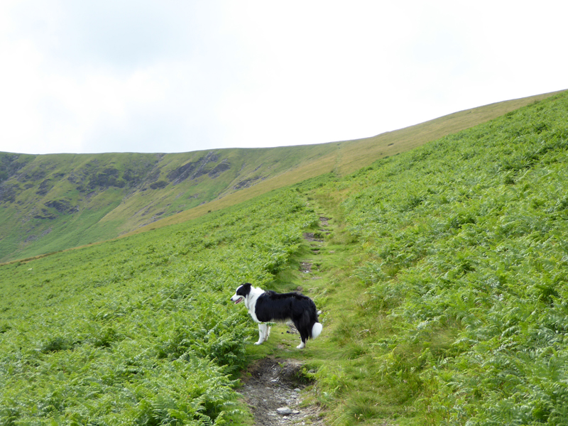
Well I just followed the dog and she wasn't aware that we were supposed to be taking the East Ridge ascent of Bannerdale Crags. By the time I realised where we were, I just took it as being fate and so we continued on the route up the side of The Tongue.
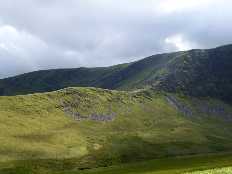
Bannerdale Crags East Ridge
All the best fellwalkers aim for the east ridge with its fine mountaineering scramble at the top. The rest of us take the steady incline on the other side of Bannerdale.
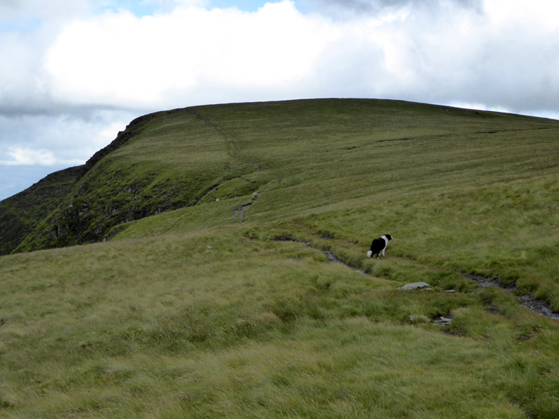
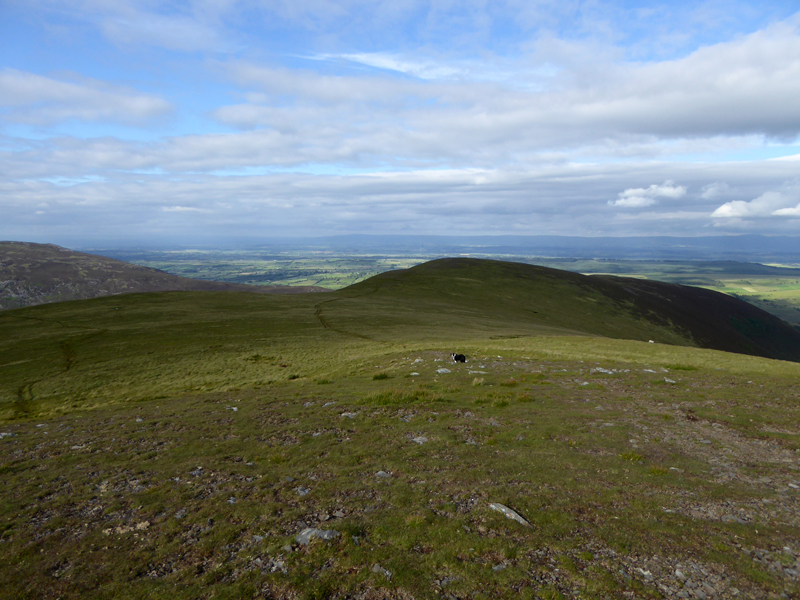
The Easy Path
A remarkably steady gradient all the way to the top of the ridge which joins Bowscale Fell (right) with Bannerdale Crags (left).
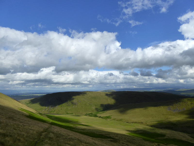
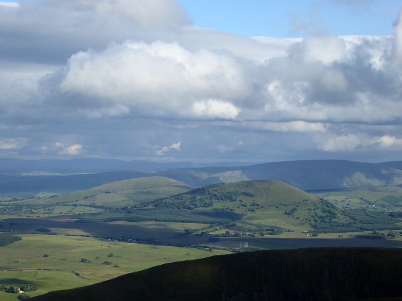
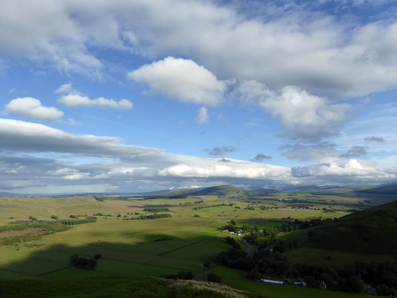
Souther Fell
Behind us, Souther Fell receives the shadows of passing clouds. The clouds appear to be forming over the Skiddaw massif and dispersing after they head eastwards. Hence we spend much of the next hour or so under the clouds.
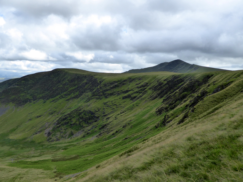
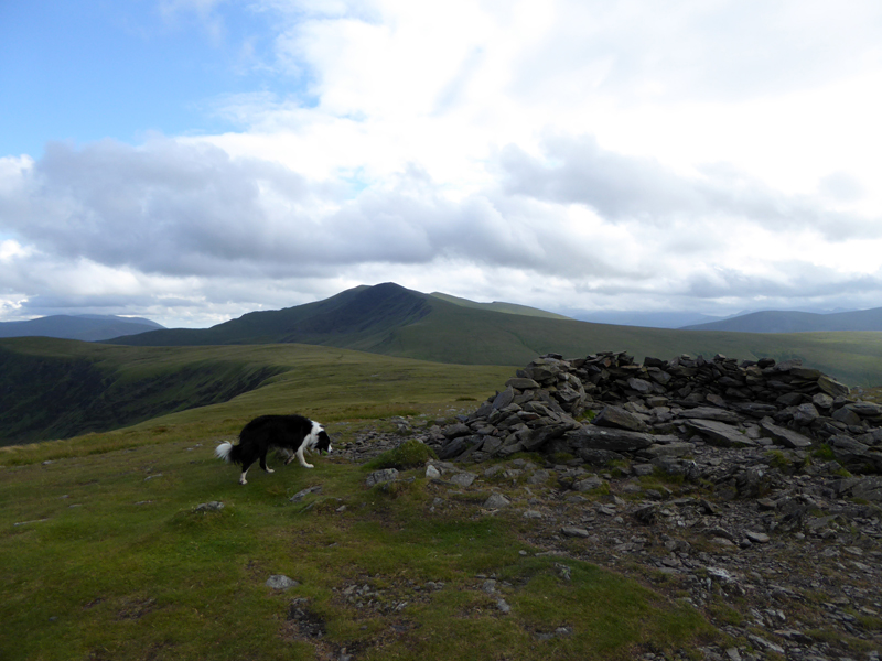
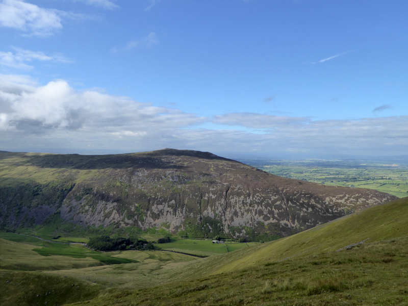
The Crags
These are the crags which give the mountain its name. We are much closer to the top of Bowscale Fell than our target fell, but we have our objective and so head south along the escarpment.
 |
 |
This is one of the fells whereby the summit is not the top, or maybe vice versa. Put simply, the positioning of the only or main cairn is not at the highest point - but for good reason as the plie of stones is just where you would want the top to be.
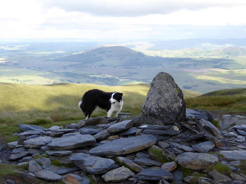
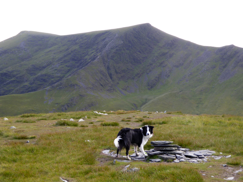
Bannerdale Crags Summit Cairn
The Highest Point 2,230ft asl (approx)
Blencathra dominates the view to the south-west and the plan had been to climb up there, but in the event the walk started a good hour later than I had originally anticipated, so that was that.
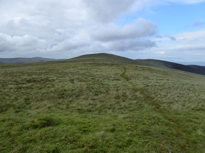
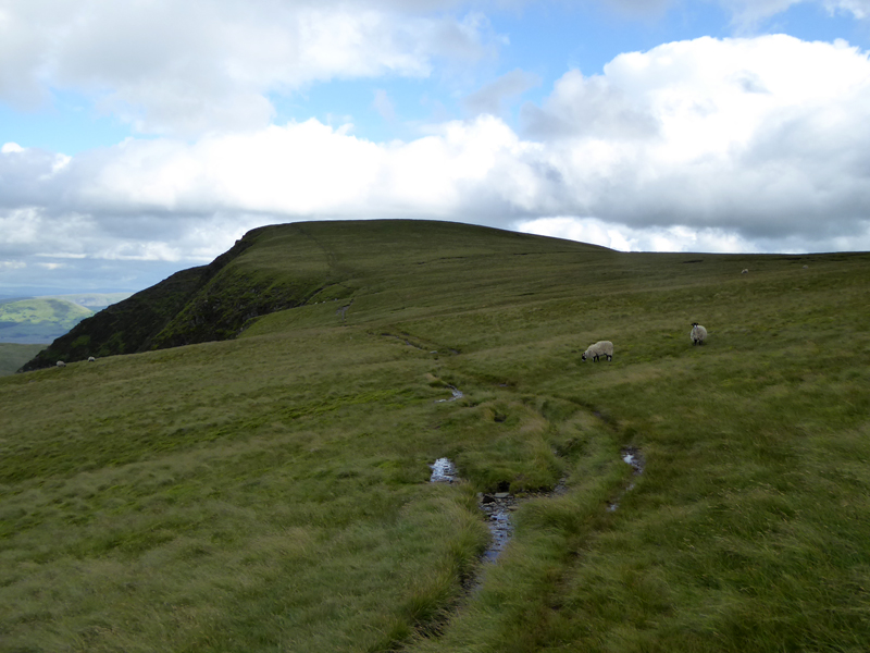
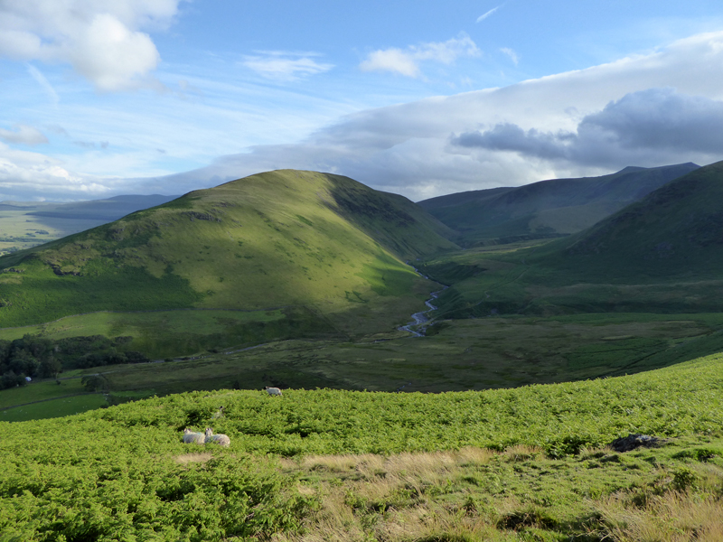
To Bowscale Fell
From the col to Bowscale Fell top is just over a mile of generally easy territory, with the occasional bog to liven things up.
Bowscale Fell Summit 2,306ft asl
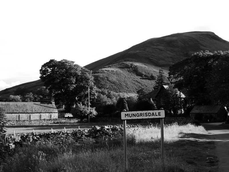
It's off down the east ridge of this fell for a return to Mungrisedale.
Bowscale Fell East Ridge
Carrock Fell
The Mell Fells
Little & Large.
Jumbo
Molly
Souther Fell
~~~
Obviously
Walkers: Molly The Dog and Me.
Route: Mungrisedale Village, River Glenderamackin, route along the side of The Tongue, Bannerdale Crags summit escarpment and top, the col. Bowscale Fell summit, east ridge back down to Mungrisedale
Greetings: Zero
Weather: Warm and breezy, cloudy on the tops, dry throughout.
Time Taken: 3 hours over a distance of about 7 miles.
Nearly All photos copyright Richard Ratcliffe 2016 ©
Take me back to the start ....